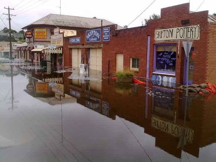
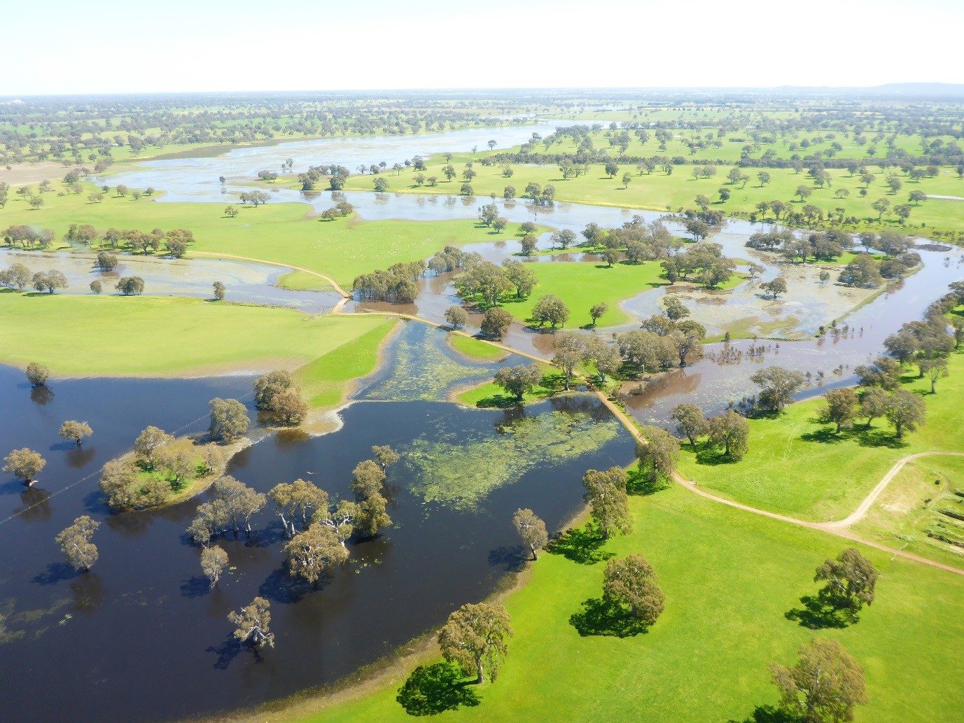
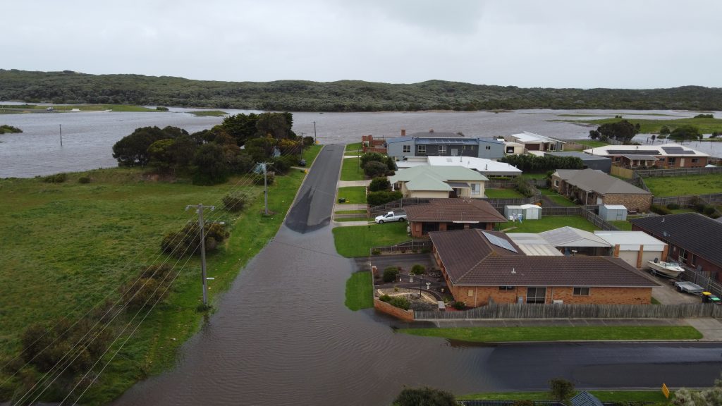
Floodplain management
Does my property flood?
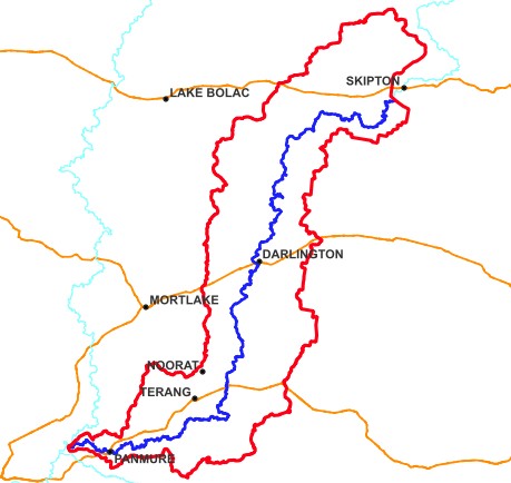
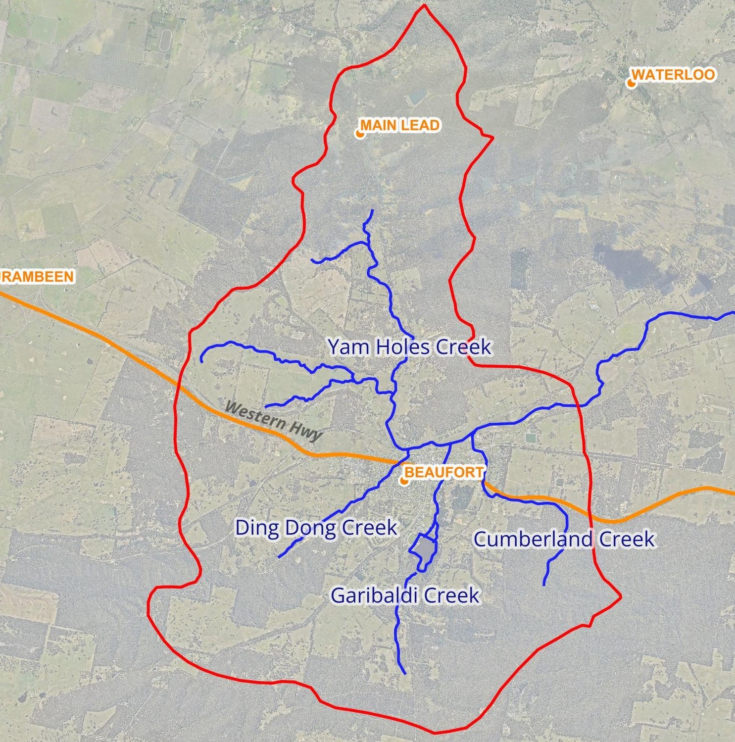
Are you seeking advice around whether your property floods in rural or residential areas of the catchment? Seeking mapping information about flooding, the flood portal or general advice about flooding in the catchment?
Current flood investigations
Click on a link below to take you to the project page.
Portland Flood Investigation
(coming soon)
Casterton Flood Investigation
(coming soon)
What we do on the floodplain and why
What do we do as a floodplain management authority and why we do it. Access to Floodplain management strategies.
Floodplain resources
Access Floodplain Development Guidelines & plans, flood investigations resources, planning maps & regional schemes online.
Looking for floodplain data?
Are you seeking information and data relating to floodplains? To request copies of flood modelling files from the CMA, we require a formal request to be completed. This is a fee for service product.
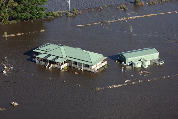
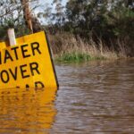
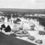
Flood emergency information
WE ARE NOT A FLOOD EMERGENCY AUTHORITY.
We can direct you to local flood information and resources from the authorities that manage flood emergencies.