Floodplain management – what we do and why
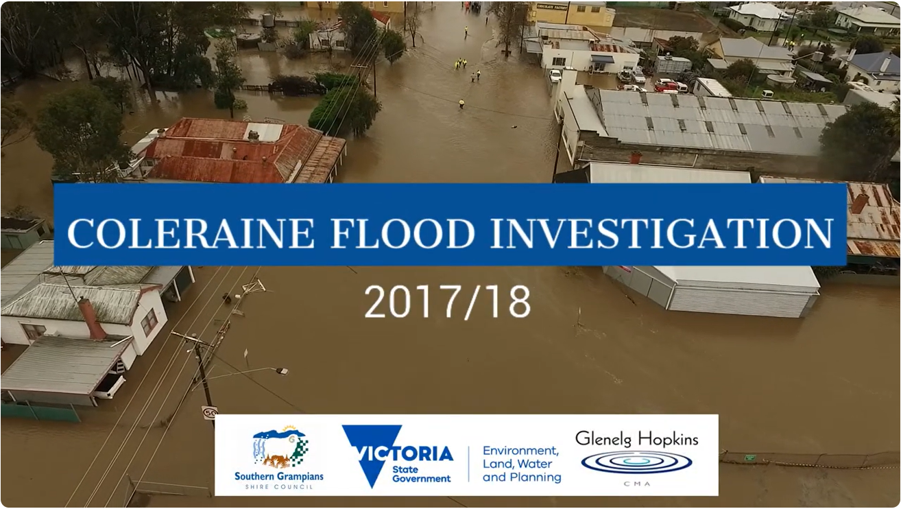
Click below to watch a video about flooding in Coleraine and how a flood investigation helps for future events.
The CMA focuses on riverine flooding and coastal inundation from the ocean. Local Government councils are the responsible authorities for urban drainage and have the responsibility for managing stormwater flood risk in townships. Enquiries around stormwater flooding in built up areas should be directed to your local council.
Do you have information you would like us to have?
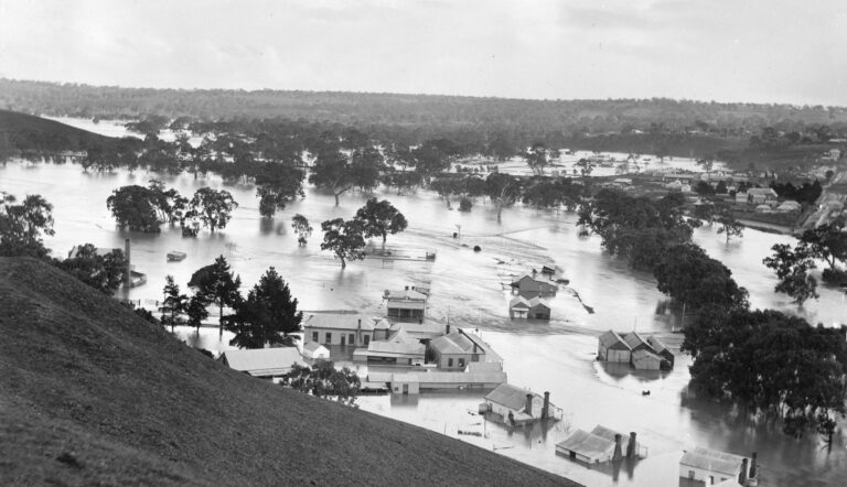
Historical flood information is really important in understanding flood risks. The CMA is always interested in historical photos or videos of flooding. Historical (pre -2010) records of flood levels (eg. a mark on a post or wall) are also of interest. Please contact us if you have information like this and would like it to be used in the process of improving understanding of flood risk across the region. Call us on 03 5571 2526 or email planning@ghcma.vic.gov.au
Flood Advice
Find out how to get advice on flooding and links to mapping
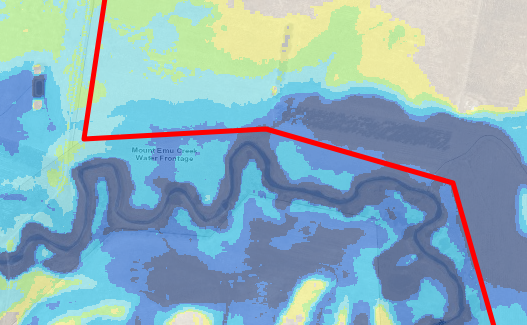
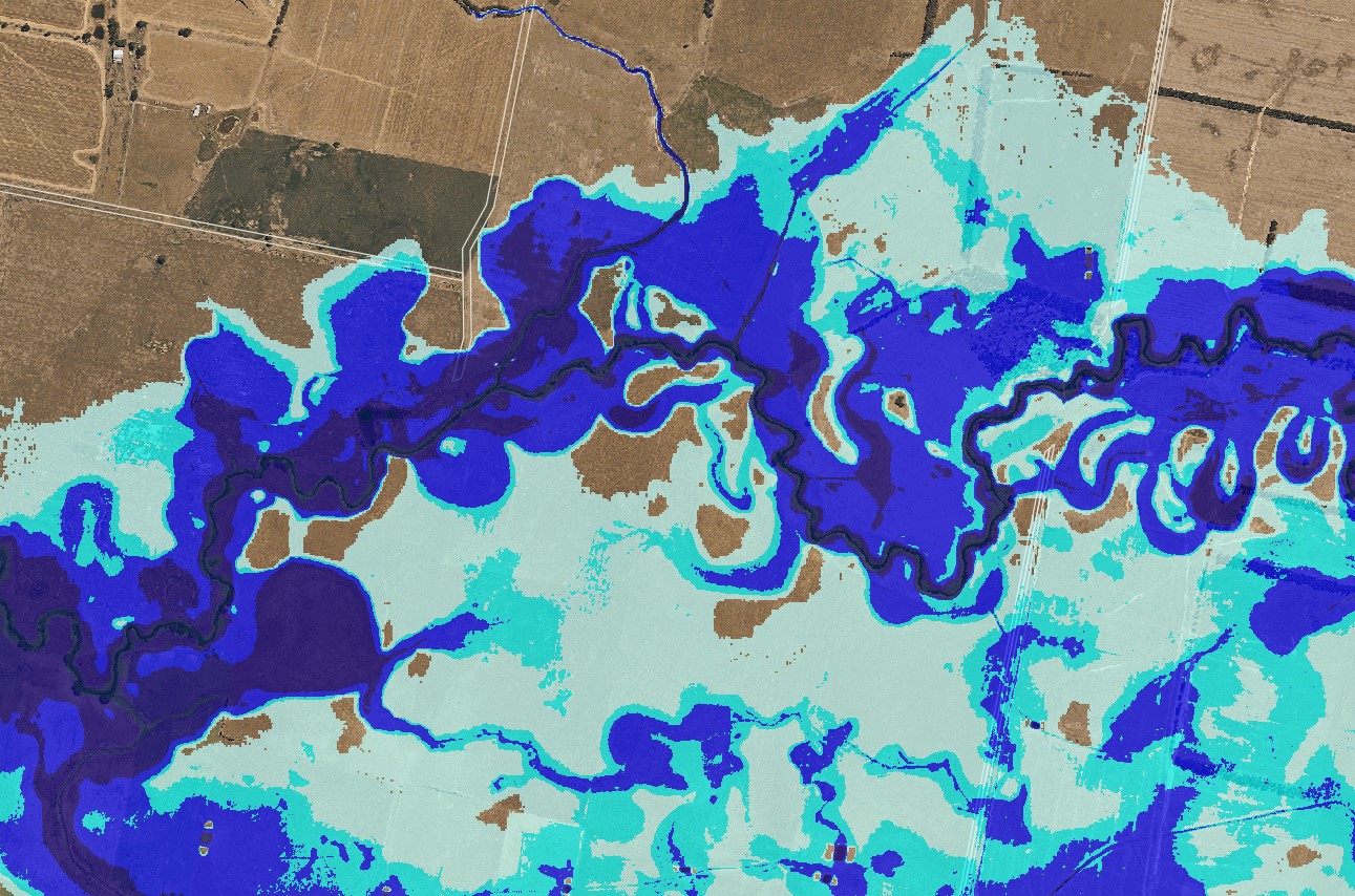
Flood Portal
Go straight to the Flood Portal for best available flood data using address search
Floodplain Resources
Access guidelines, flood investigations, resources & online planning maps
Flood emergency information
Local flood information & resources from the authorities than manage flood emergencies