Victorian Volcanic Plain Landscape Finance Initiative
Investing in the VVP Landscape | 2.2 million ha | Australia
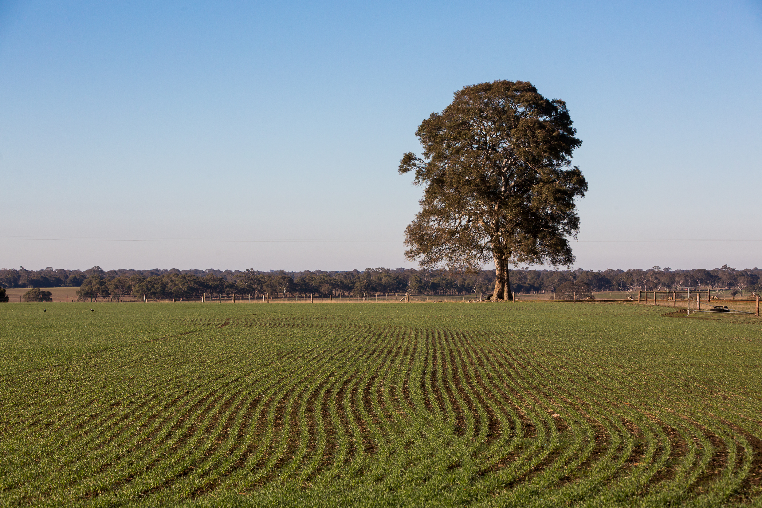
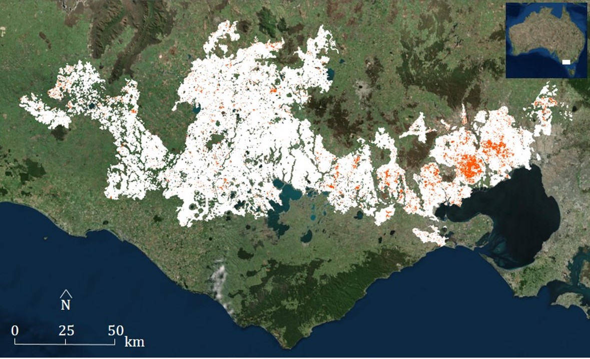
The Victorian Volcanic Plain (VVP) bioregion is one of 15 biodiversity hotspots in Australia and spans 2.2 million hectares of SW Victoria
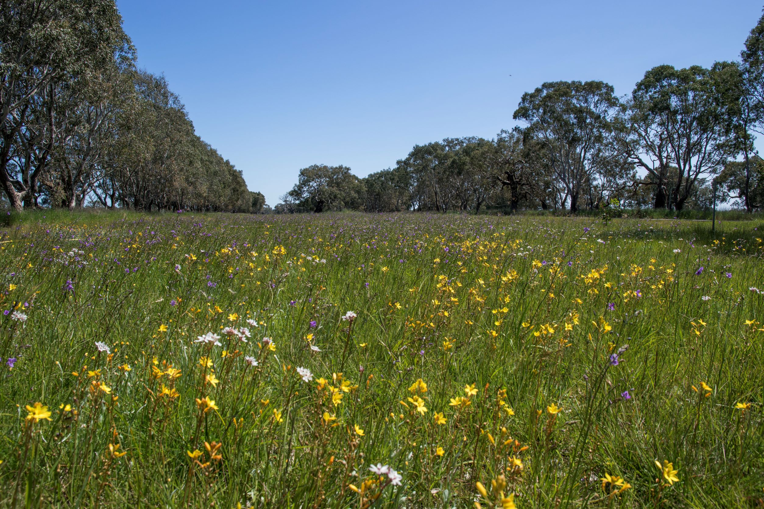
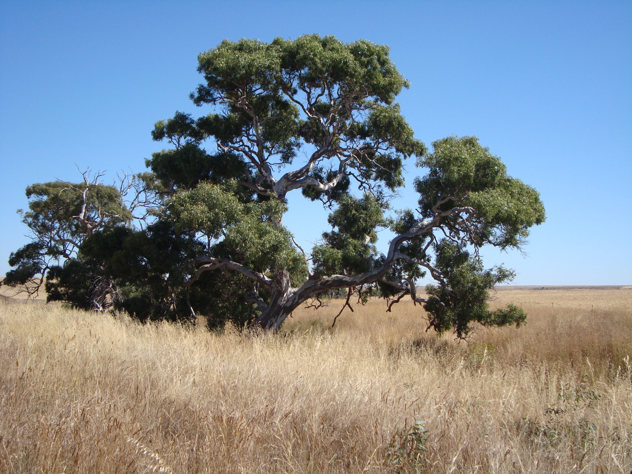
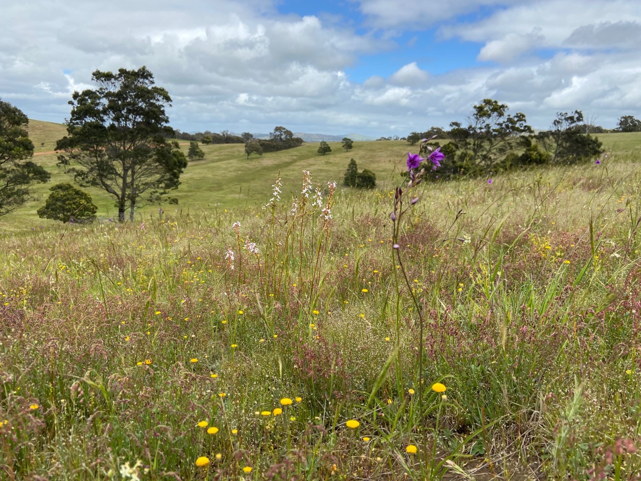
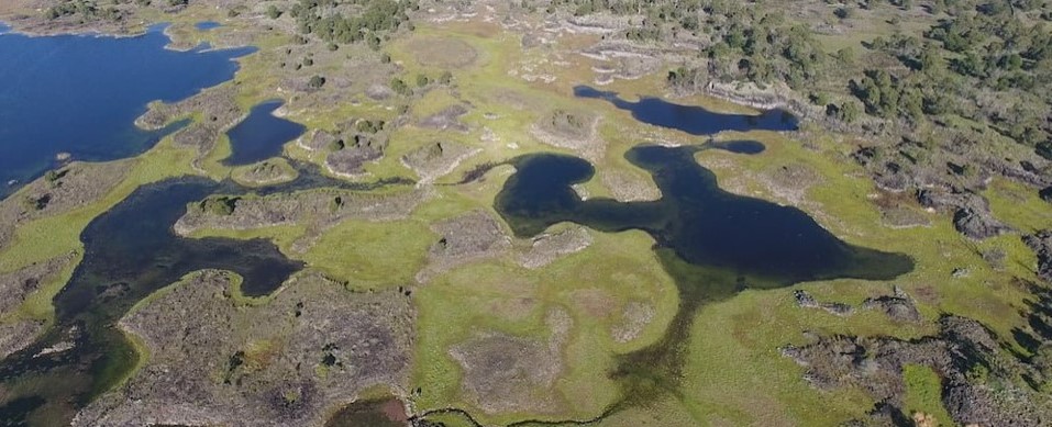
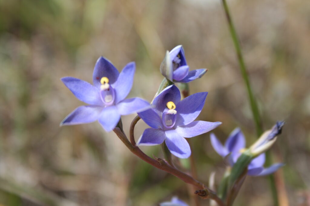
The Victorian Volcanic Plain (VVP) bioregion is one of 15 biodiversity hotspots in Australia and spans 2.2 million hectares of SW Victoria. As one of the largest basalt plains in the world, the VVP supports critically endangered Natural Temperate Grasslands and Grassy Eucalypt Woodlands and provides habitat for internationally protected migratory and threatened species. It is recognised as a federal government ‘Priority Place’ for threatened species action and includes the Western District Lakes Ramsar site and the UNESCO World Heritage listed Budj Bim Cultural Landscape. Despite its ecological importance, the VVP is one of the most under-protected bioregions in Australia, making it a global priority for biodiversity conservation.
The region is of immense cultural significance to Wadawurrung, Eastern Maar, Djaara, Wurundjeri and Gunditj Mirring Traditional Owners, who have an unbroken connection to Country. Native title exists across a large part of the VVP and Traditional Owner corporations are delivering a range of on Country programs. The prosperity of people living on the VVP has been directly linked to its biological productivity for tens of thousands of years, including the world’s oldest continuous aquaculture system on the World Heritage listed Budj Bim Cultural Landscape.
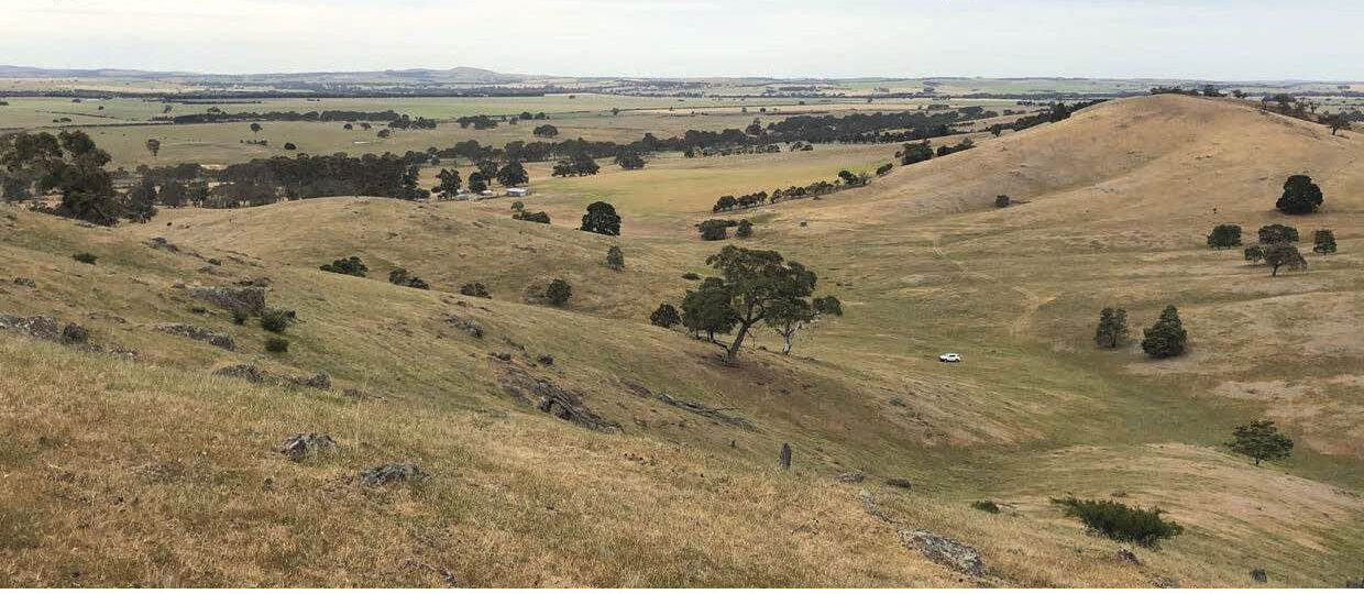
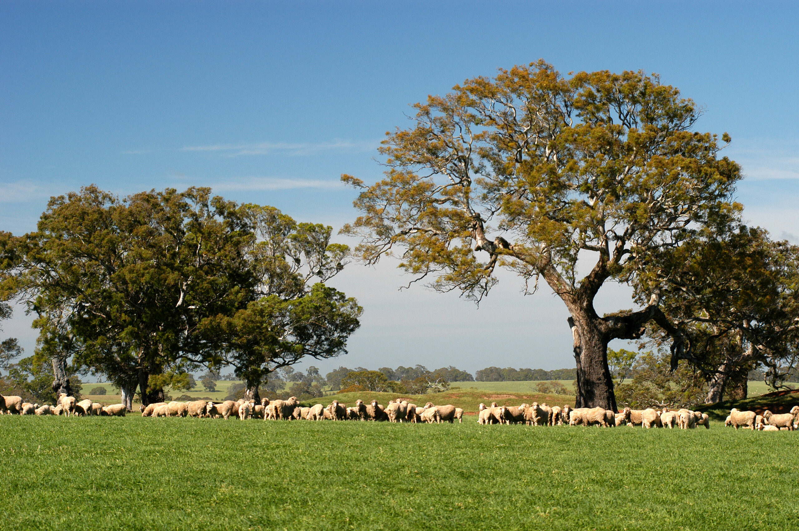
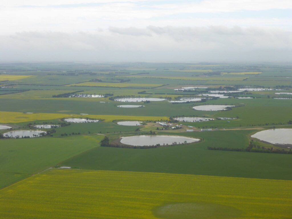
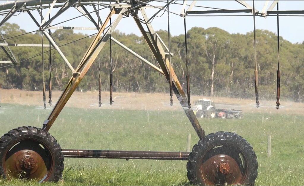
The VPP is also one of the most productive agricultural areas in Australia and highly valued for sheep, beef, dairy and cropping industries. The region is estimated to contribute more than 6% of Australia’s annual agricultural productivity from less than 0.2% of its land mass. This productivity has significant impacts and dependencies on both climate and nature. Over the last 200 years, the natural values of the VPP have been in critical and ongoing decline due to habitat loss and modification that has occurred since European colonisation through agricultural and urban development. Agricultural productivity on the other hand has increased, but with increasing threats from climate change and declining nature dependent services (i.e. pollination) this may not be the case in the future.
Promising and effective restoration work has been underway on the VVP for several years, including strong partnerships between Catchment Management Authorities, Traditional Owners, Landcare, local government and others. Despite restoration successes at the smaller scale, this work has not been enough to turn around the overall trajectory of ecosystem decline in grassland and wetland ecosystems on the VVP. There is an urgent need to scale up restoration and investment at the landscape scale to reverse this decline.
A new vision to drive landscape restoration
The aim:
The aim is to protect and improve 5000ha of native grasslands, woodlands, and wetlands across the landscape, while increasing the sustainable productivity of farming systems. This will support threatened species and increase resilience, profitability and market access for farmers.
The Victorian Volcanic Plains Alliance is an ambitious initiative across all NRM Regions overlapping the VVP Bioregion (Glenelg Hopkins CMA, North Central CMA, Corangamite CMA and Melbourne Water).
Working in partnership with the Landscape Finance Lab, the project will accelerate and scale landscape repair to address climate and nature impacts and dependencies for agriculture and communities on the VVP.

Landscape Profile
Location: Southwest Victoria, Australia
Area: 2.2 million ha
Ecosystems: Critically endangered temperate grasslands, seasonal herbaceous wetlands
Cultural Value: Home to Wadawurrung, Eastern Maar, Djaara, Wurundjeri, Gunditj Mirring peoples
Economic Role: >$3 billion in agricultural output annually
- Establish a financing instrument that supports regenerative agriculture and nature restoration
- Protect/Restore 5,000 ha of native ecosystems
- Convert 15,000ha to regenerative agriculture
- Create 100 new populations of threatened species
- Adopt nature incentives across a large number of farms
- Establish regional environmental and natural capital accounts
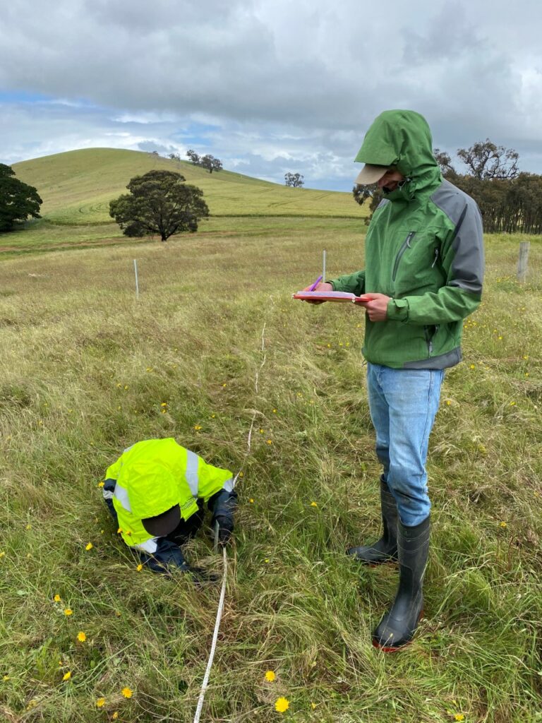
Robust Data:
Robust Data:
CMA-held data (including University data) across paddock to catchment scale
Proven Practices:
25+ years of on-ground ecosystem management
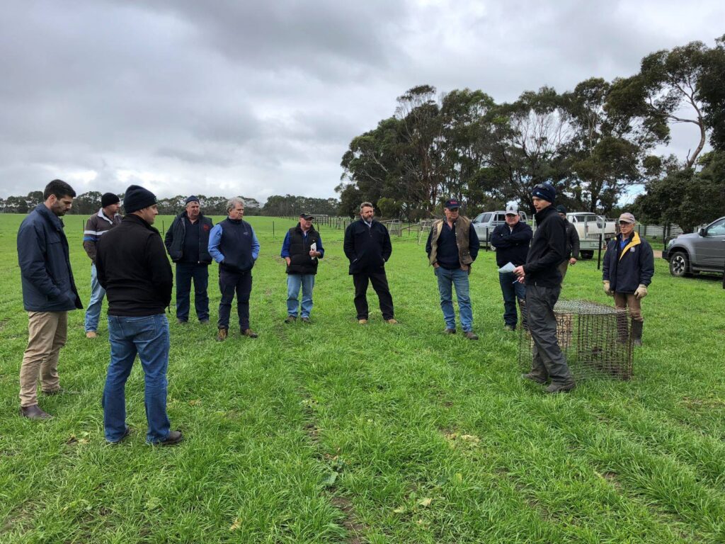
Landholder Trust:
Deep roots with farmers and Landcare groups
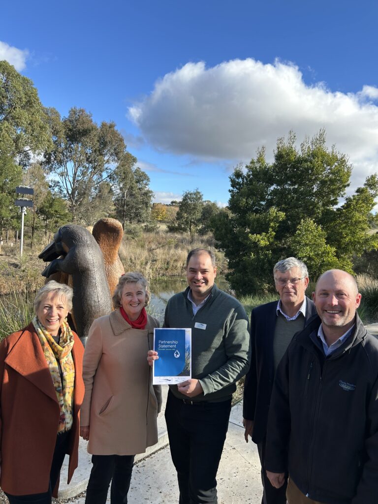
Strategic Alliances:
Multi-stakeholder support (government, NGOs, finance, academia)
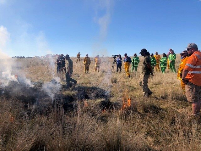
First Nations Leadership:
Cultural burning, governance, and healing Country
Demonstration Sites:
Proven models for scaling restoration
Energy Investment
Tied to Renewable Energy Zone incentives
Public Support
High media and social engagement
What to know more?
If you are interested in learning more about the initiative as a potential partner or investor, please contact Jenny Emeny at Glenelg Hopkins CMA: j.emeny@ghcma.vic.gov.au or 0436 933 728.