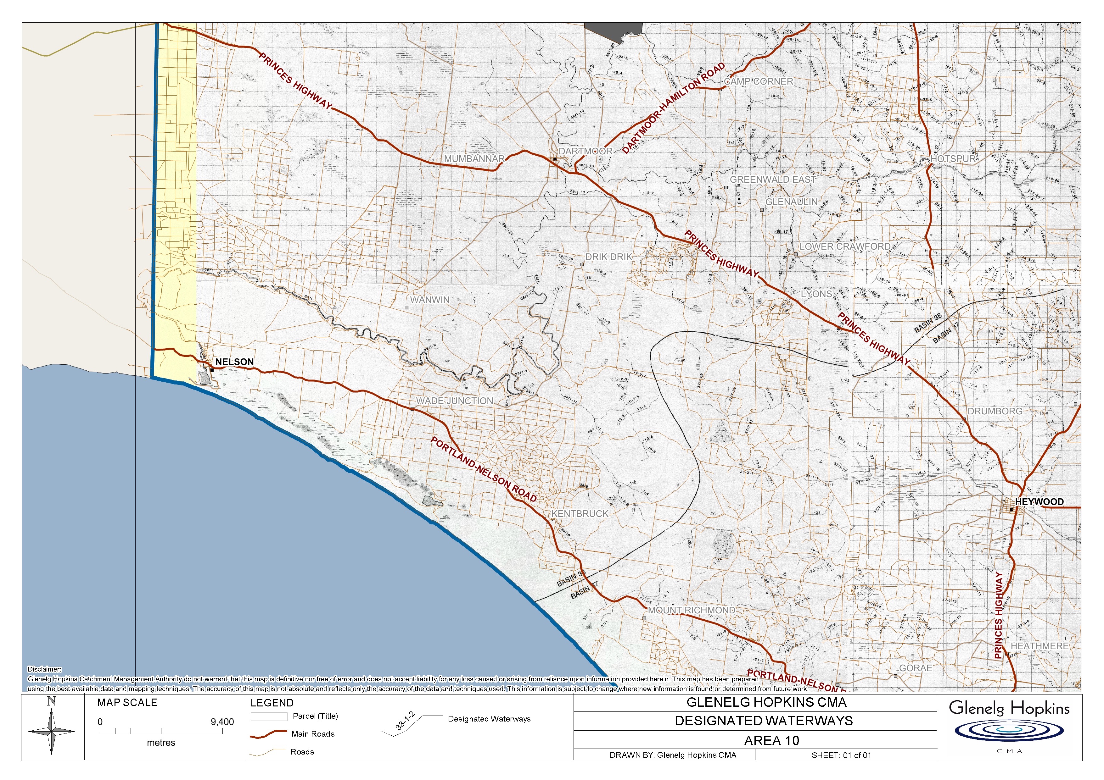
Designated waterway mapping
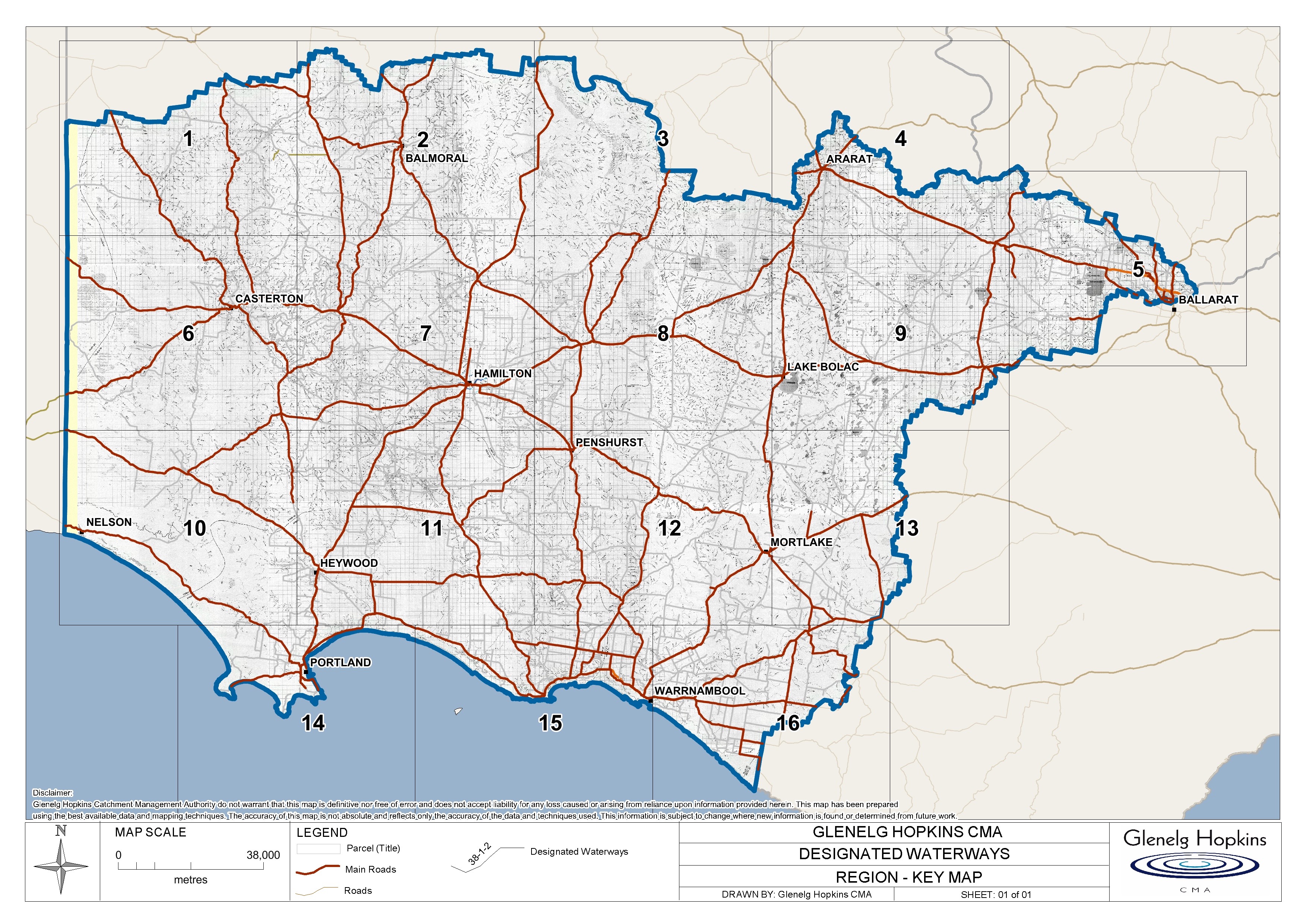
Below is a link to a large key map of the Glenelg Hopkins CMA Region that will direct you to the correct map to look at the designated waterways on your property.
Or select an area below.
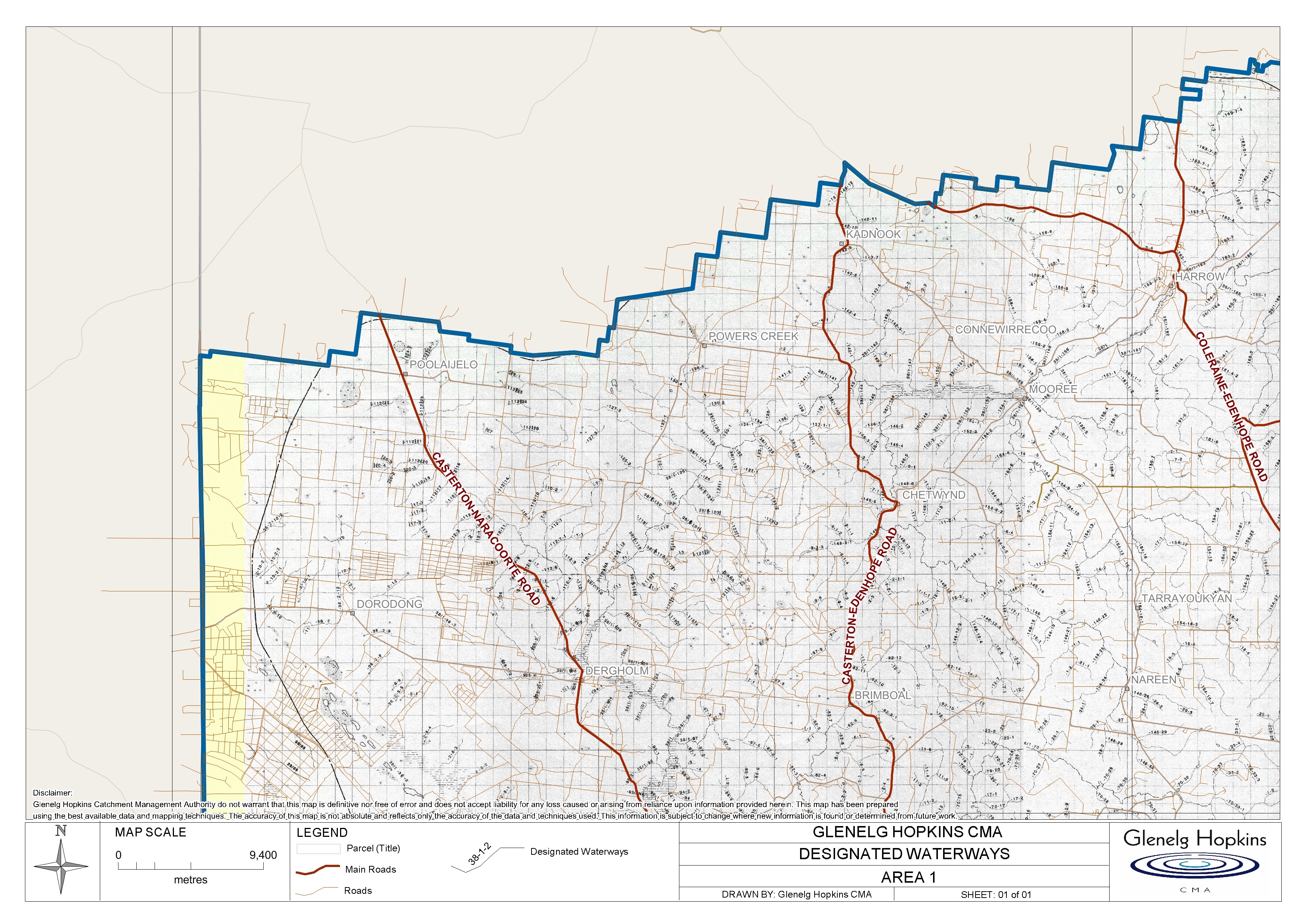
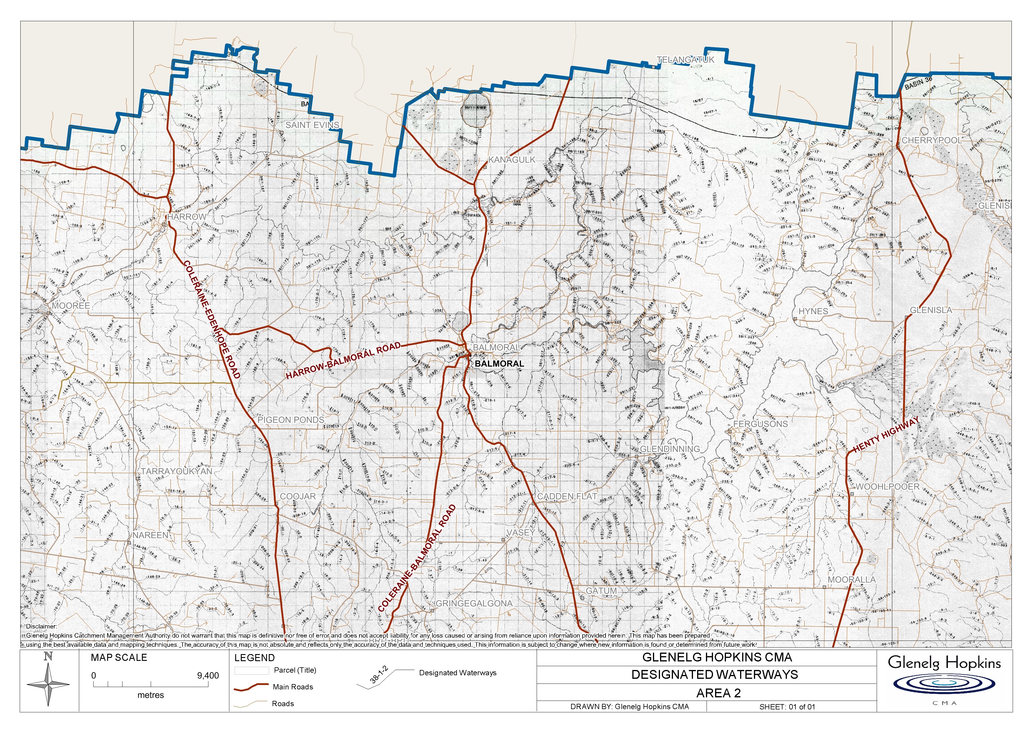
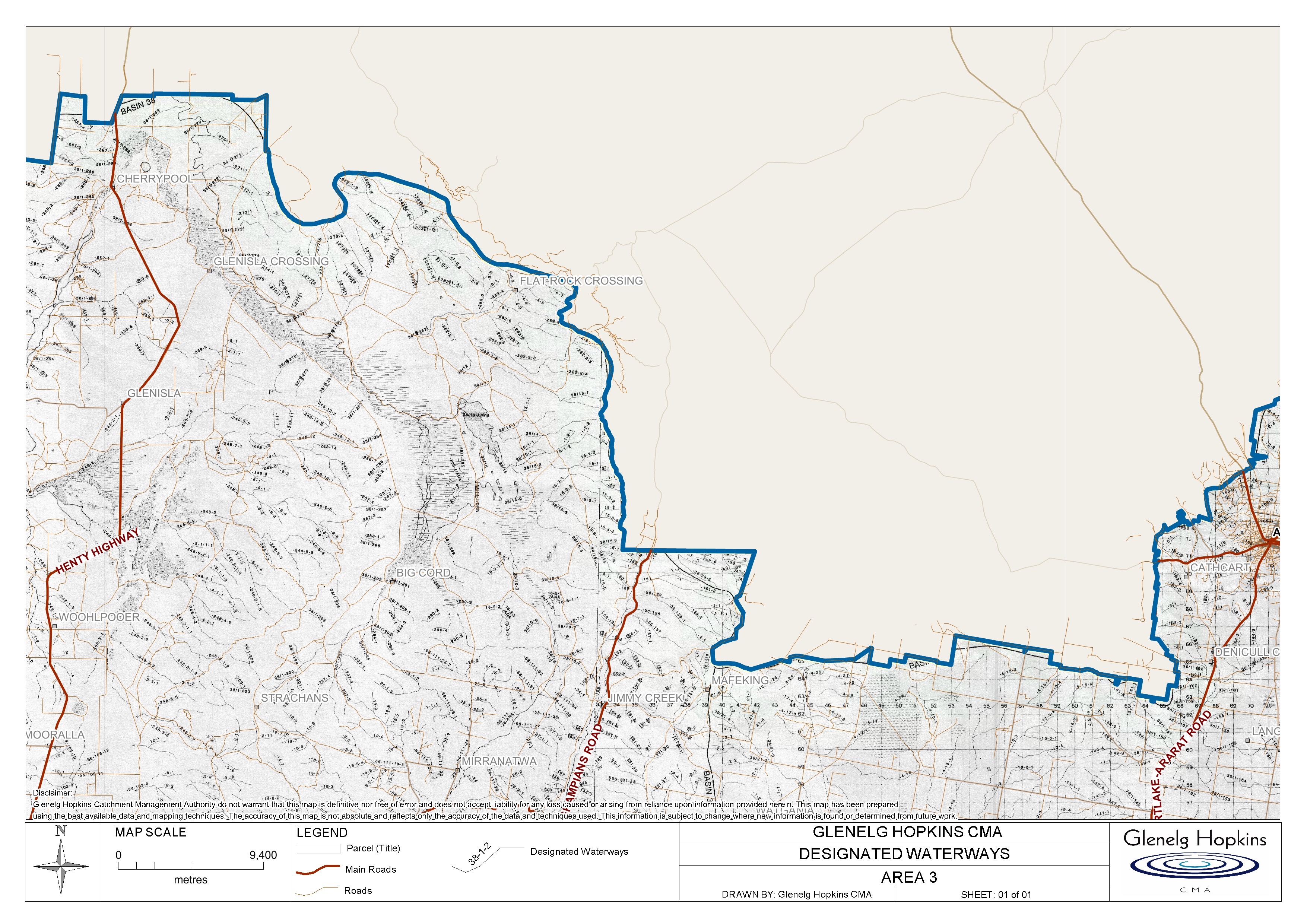
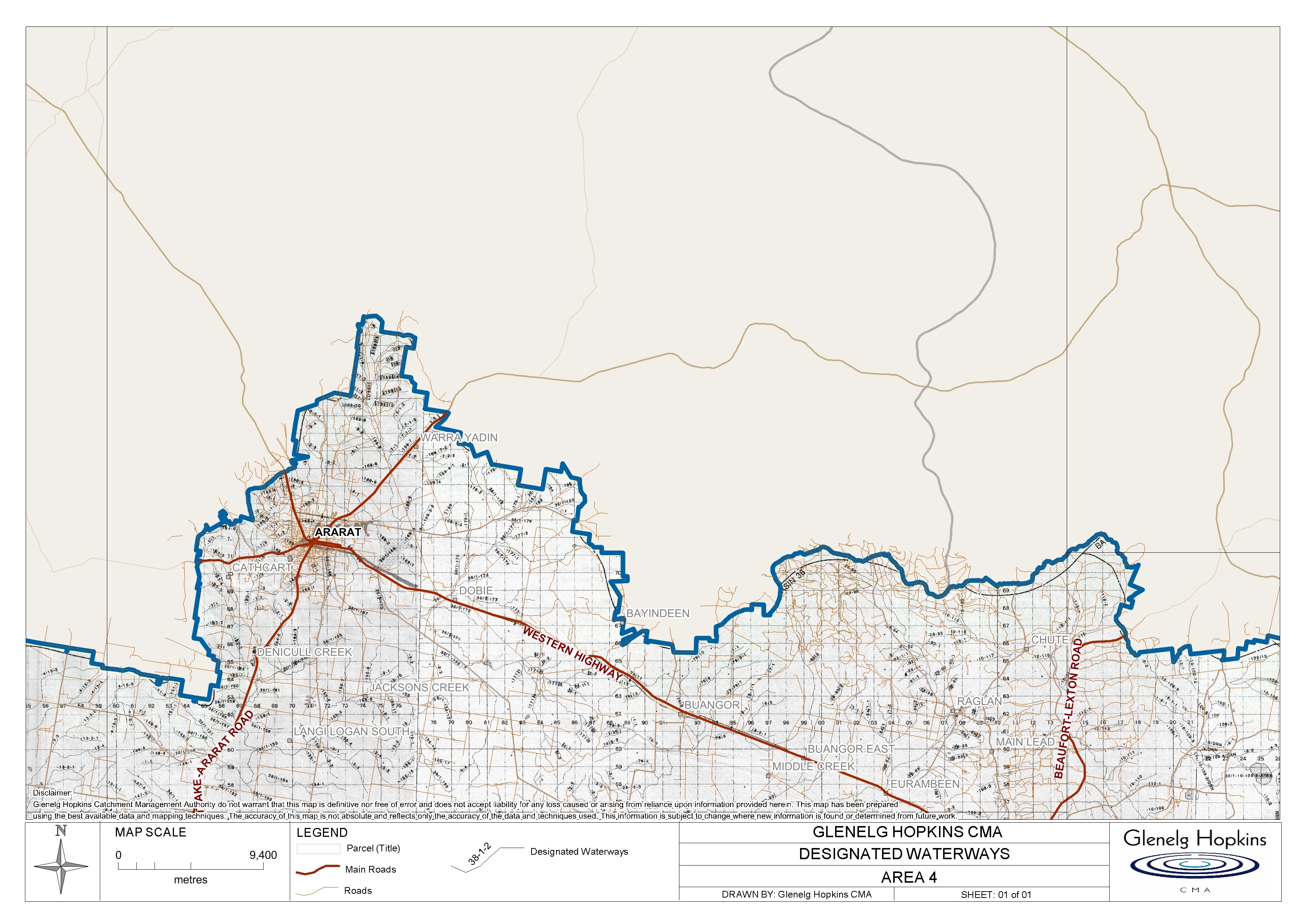
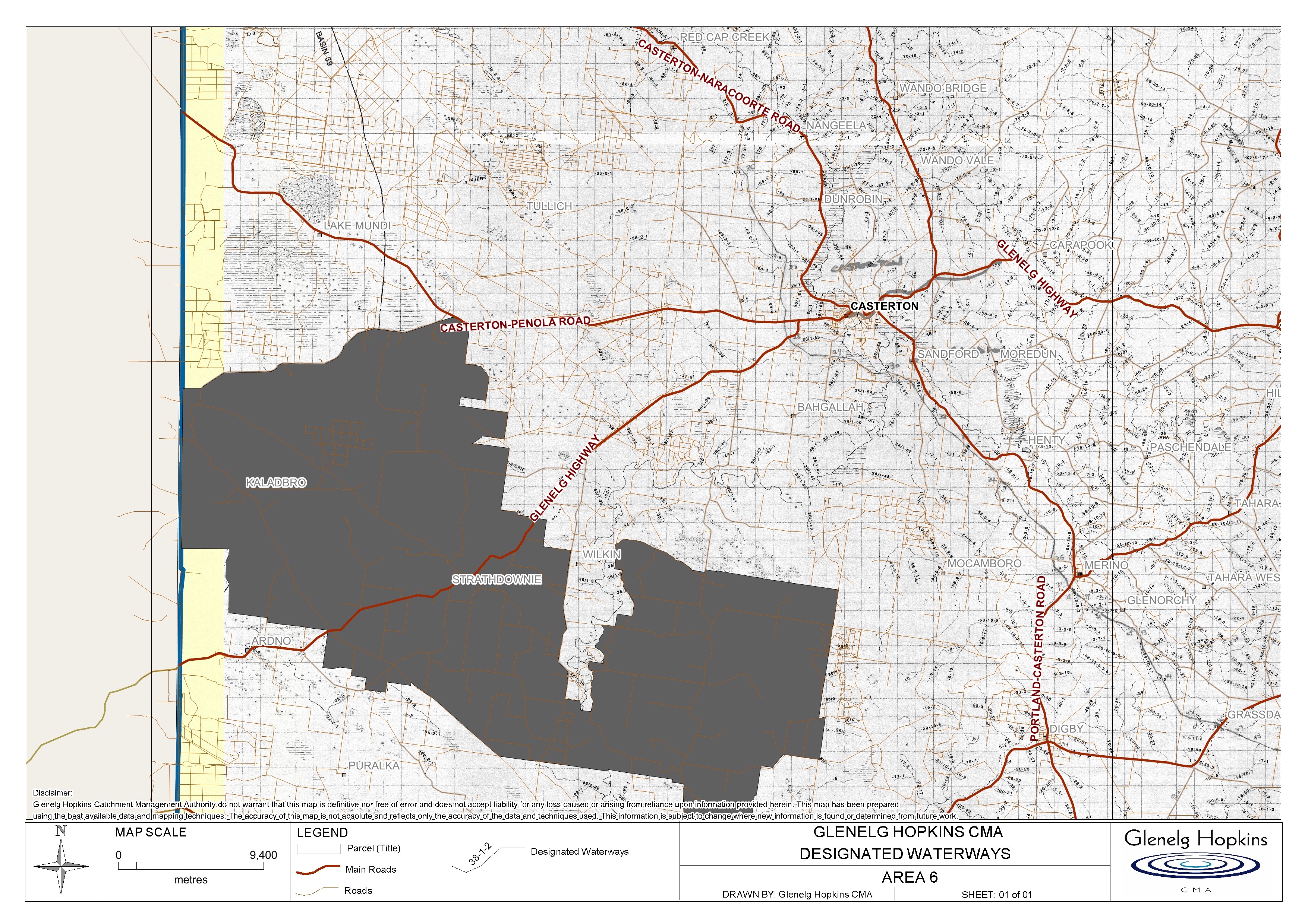
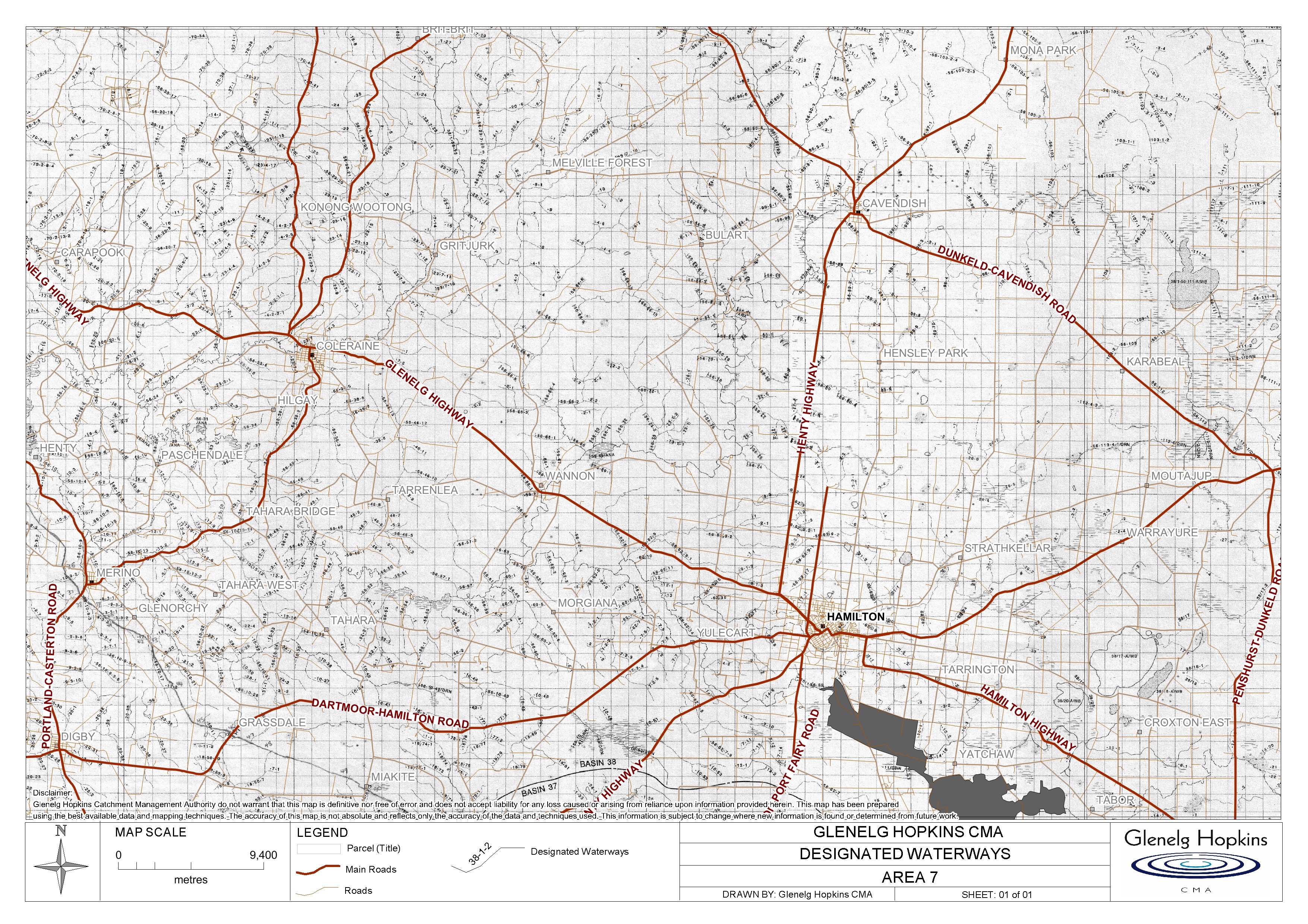
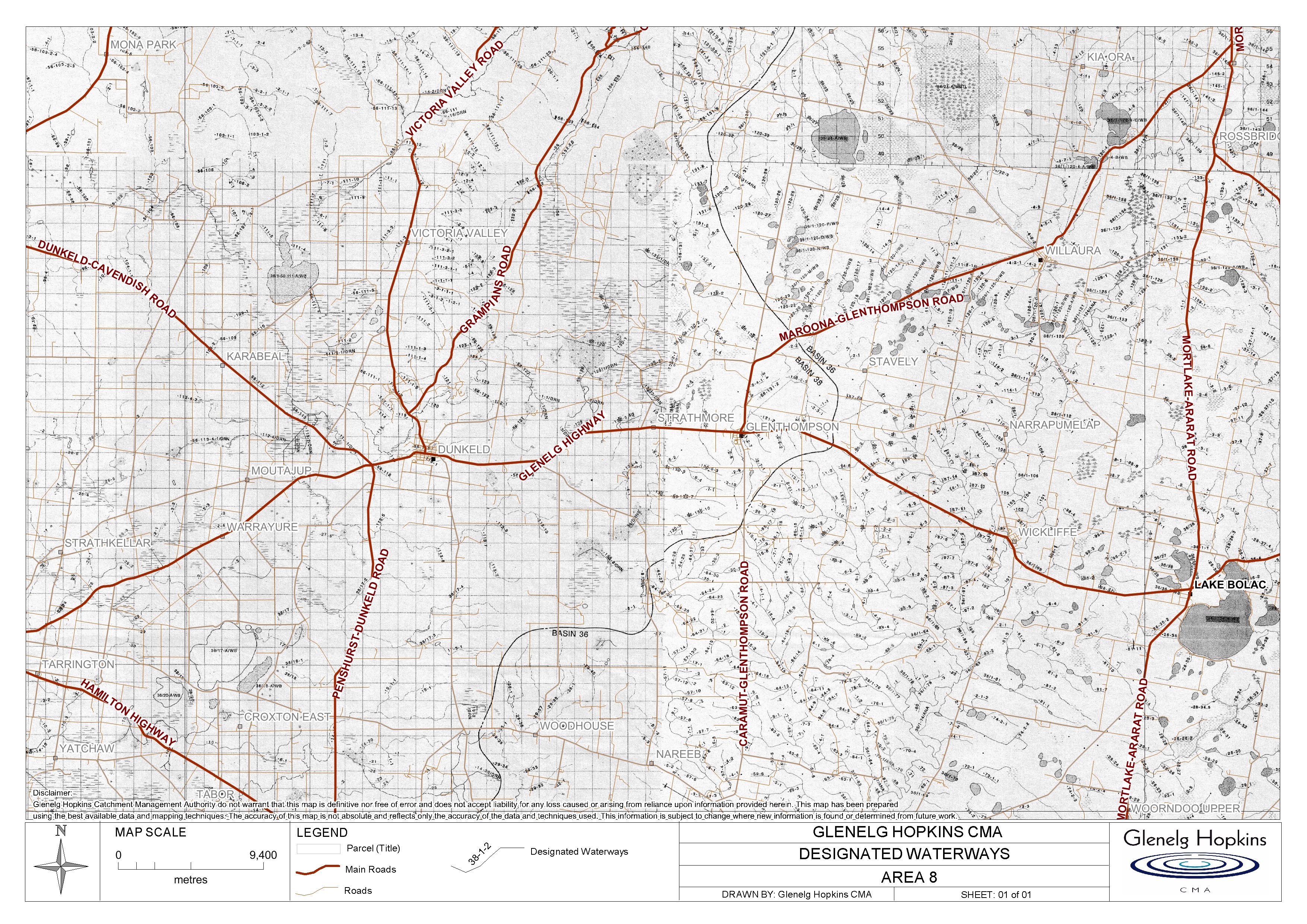
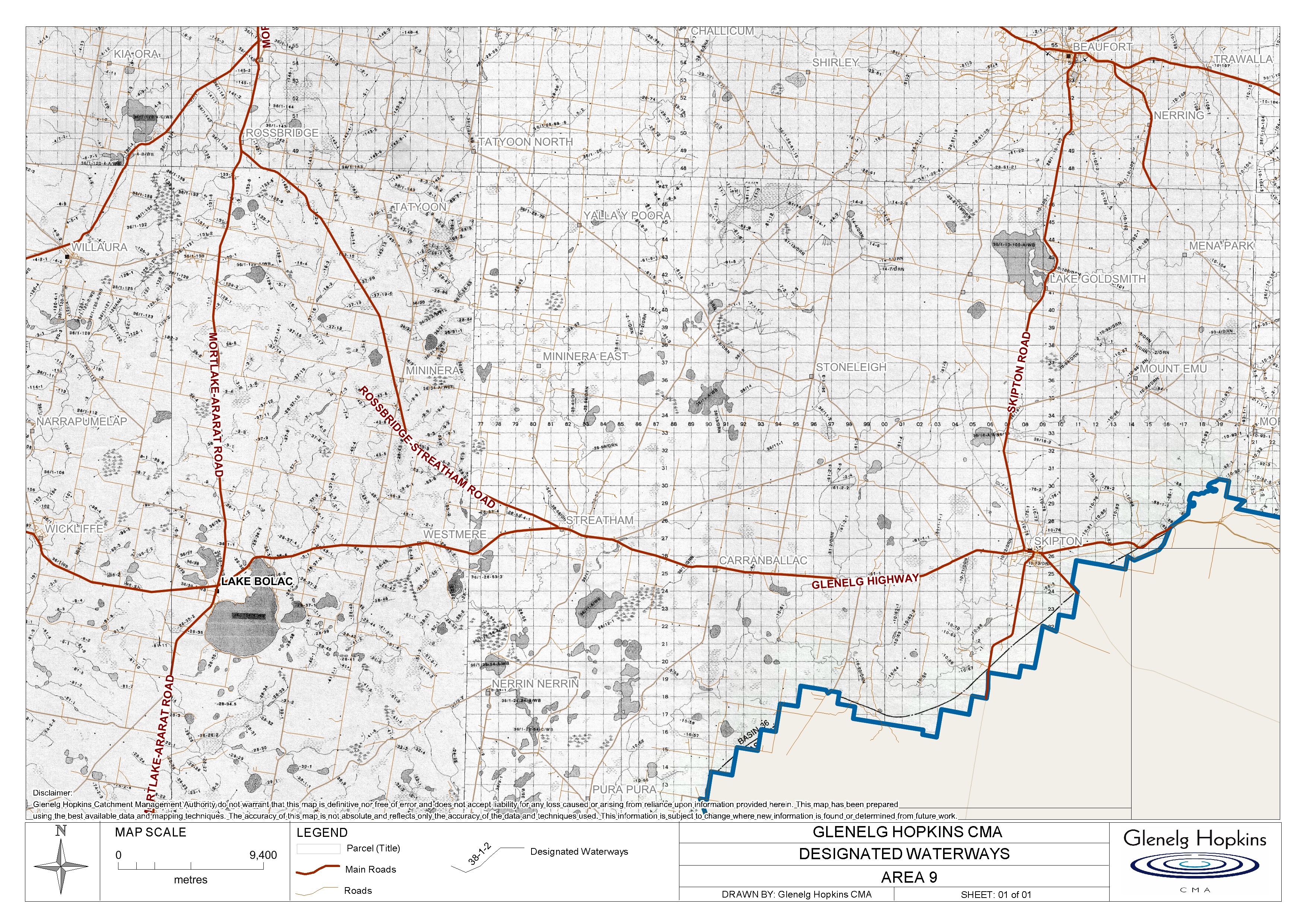
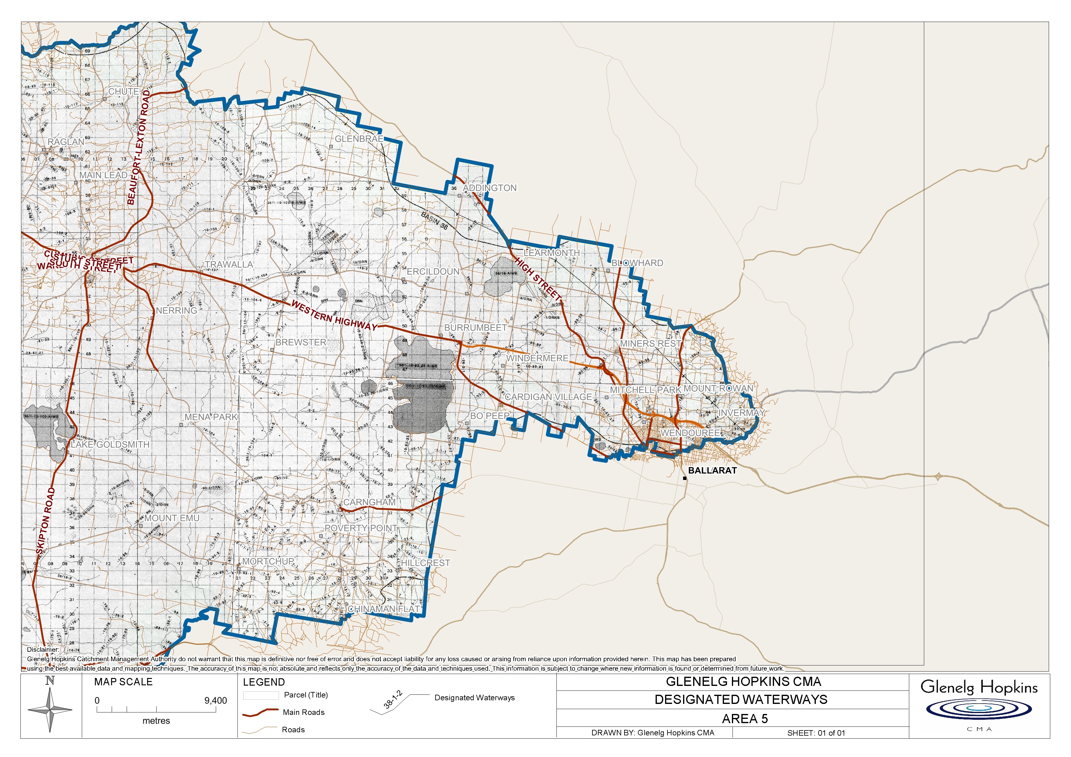

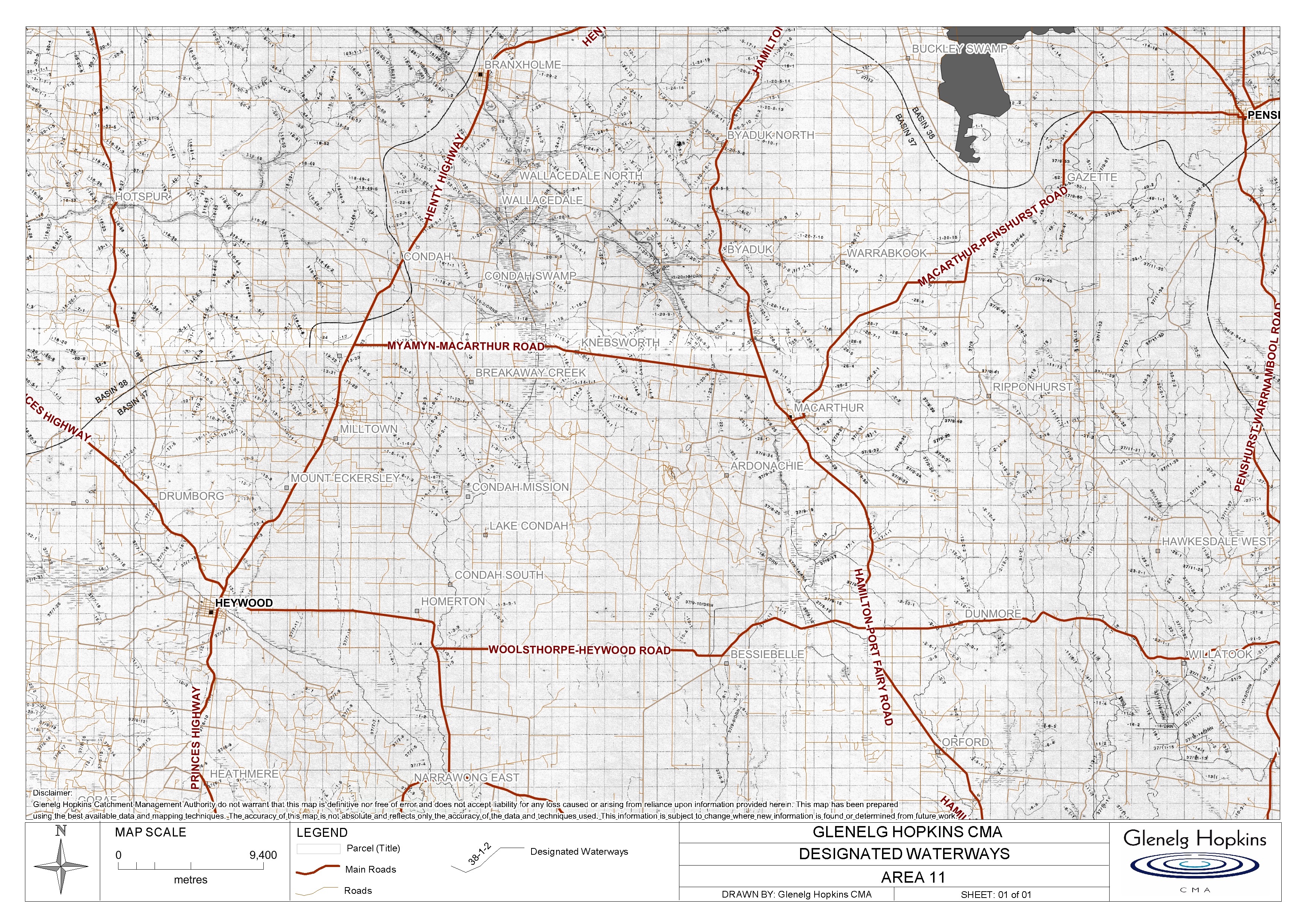
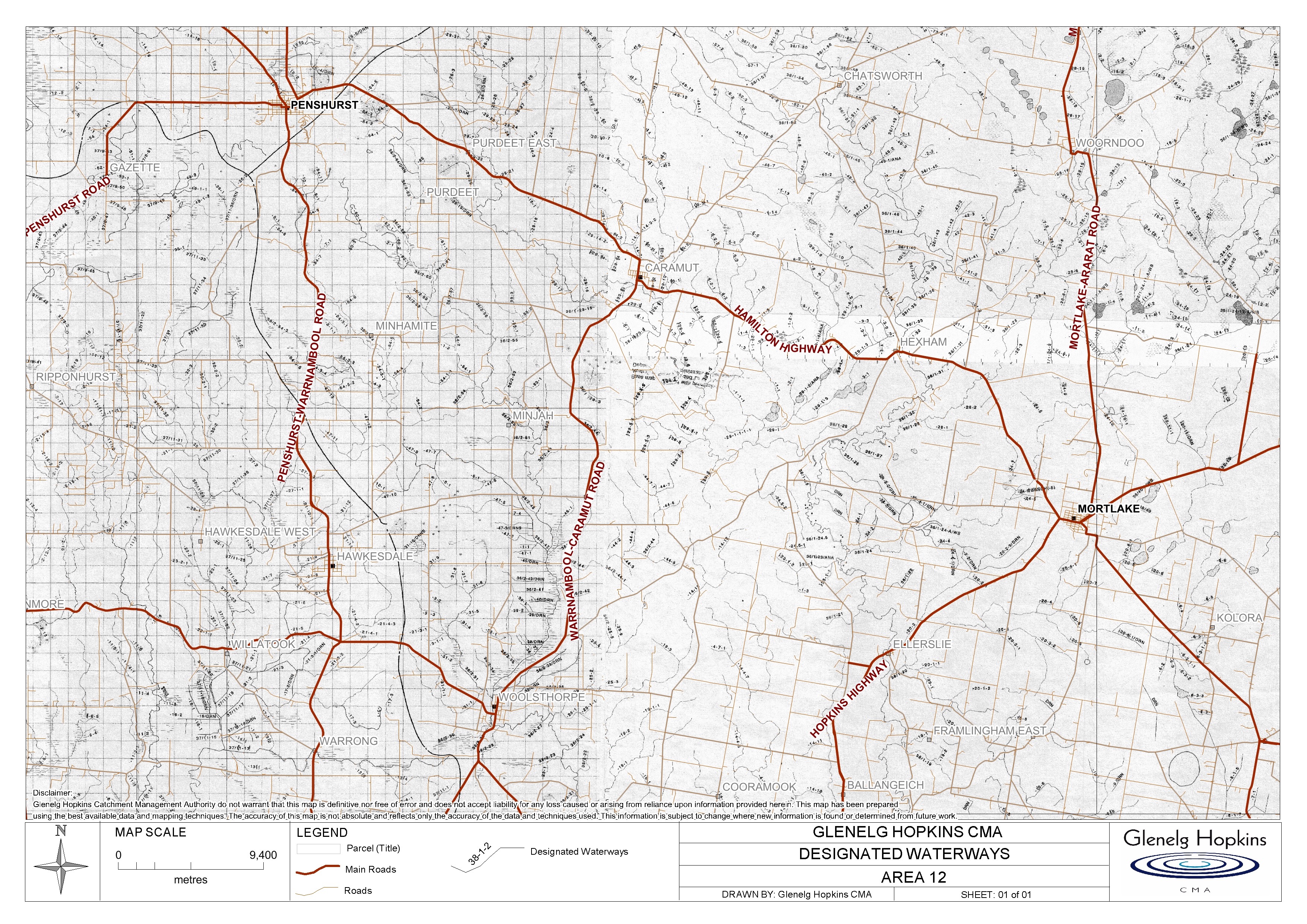
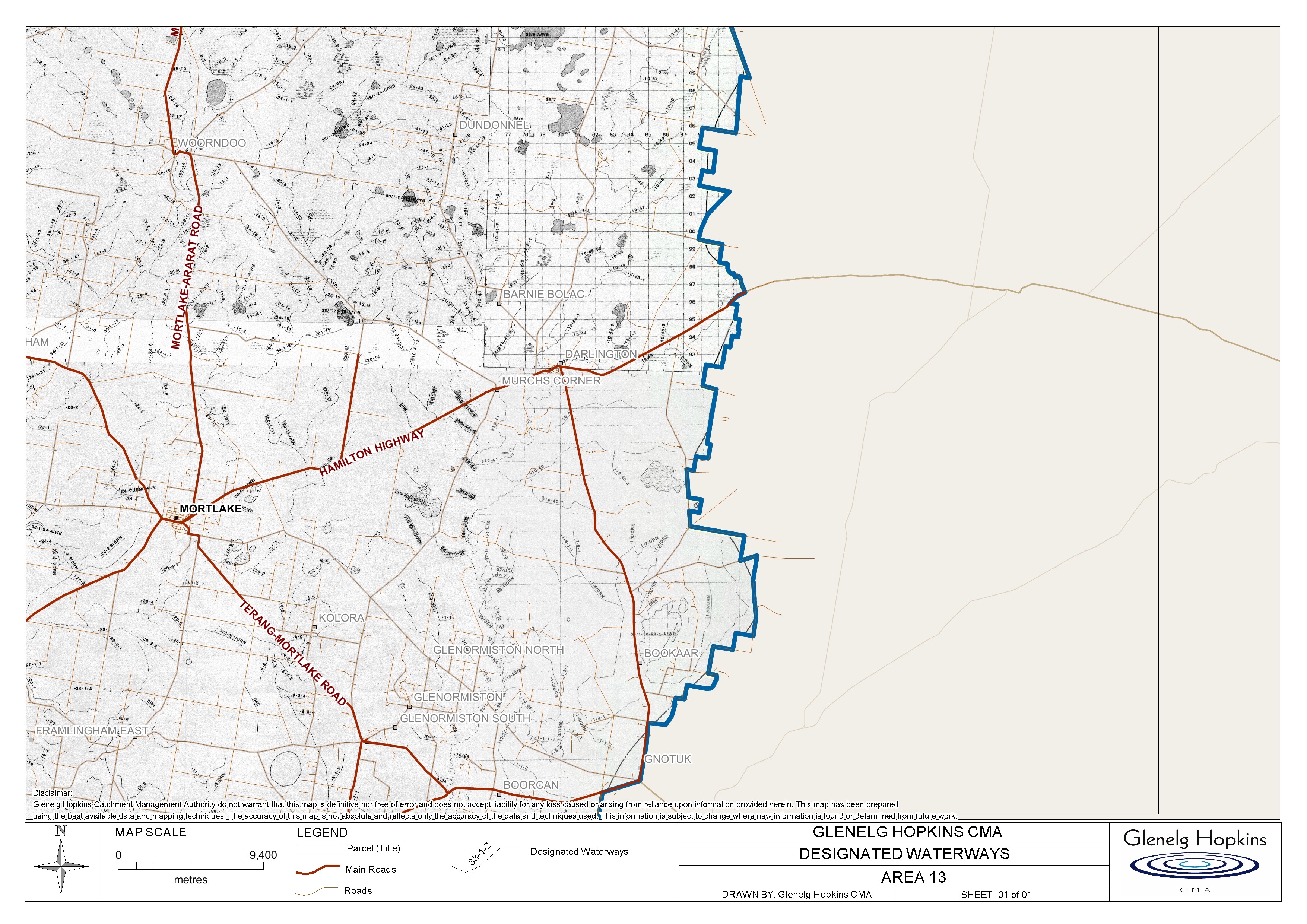
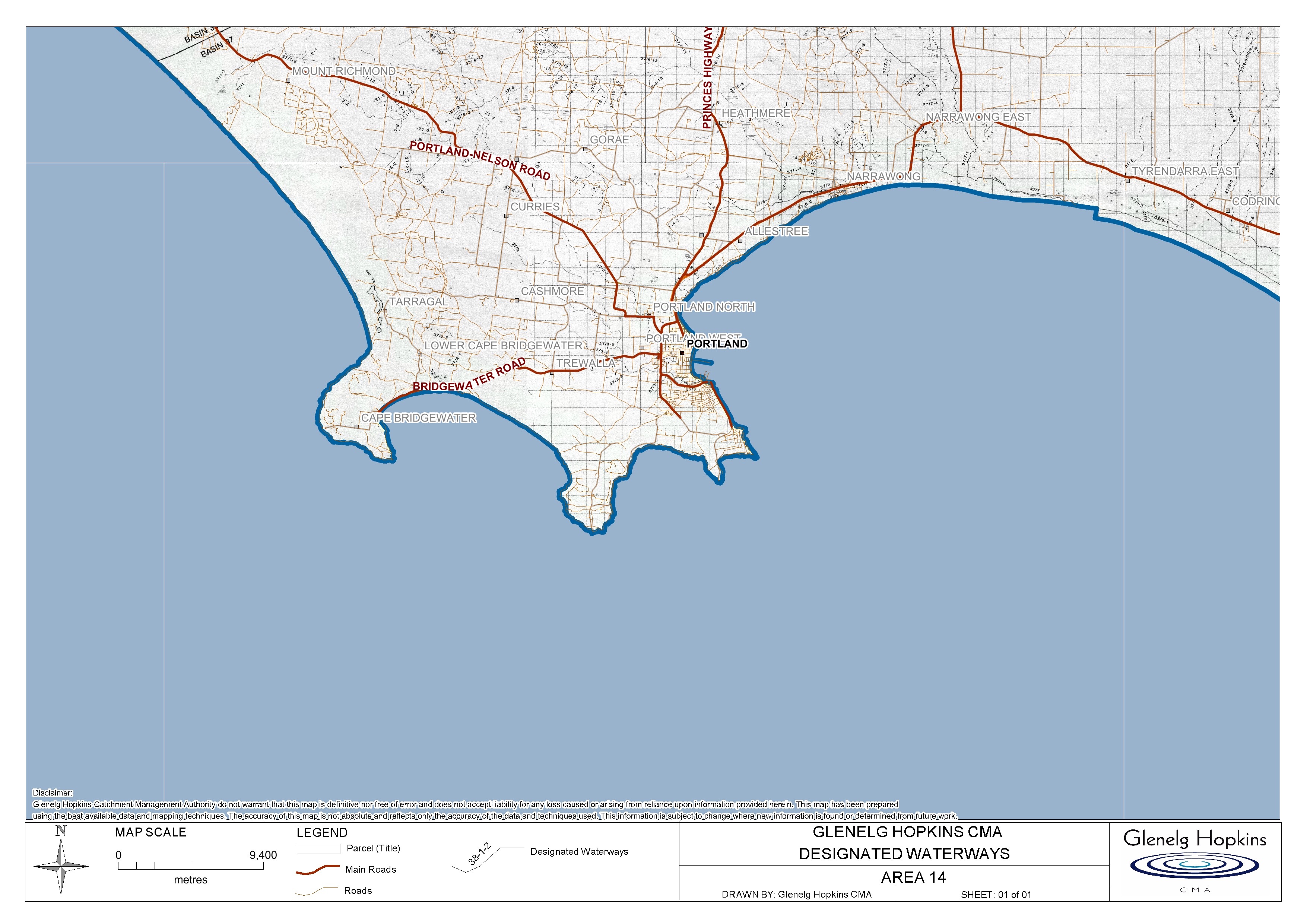
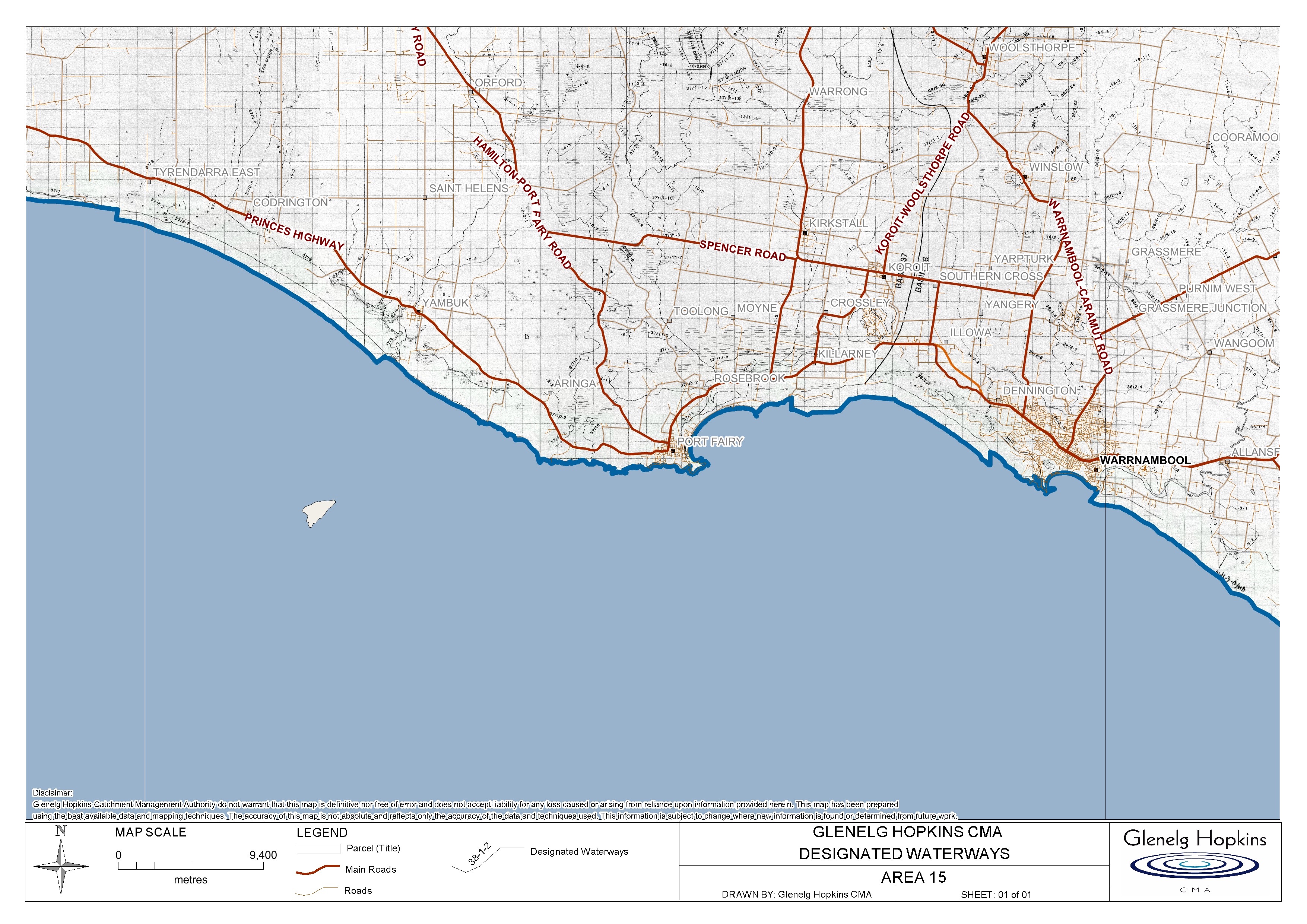
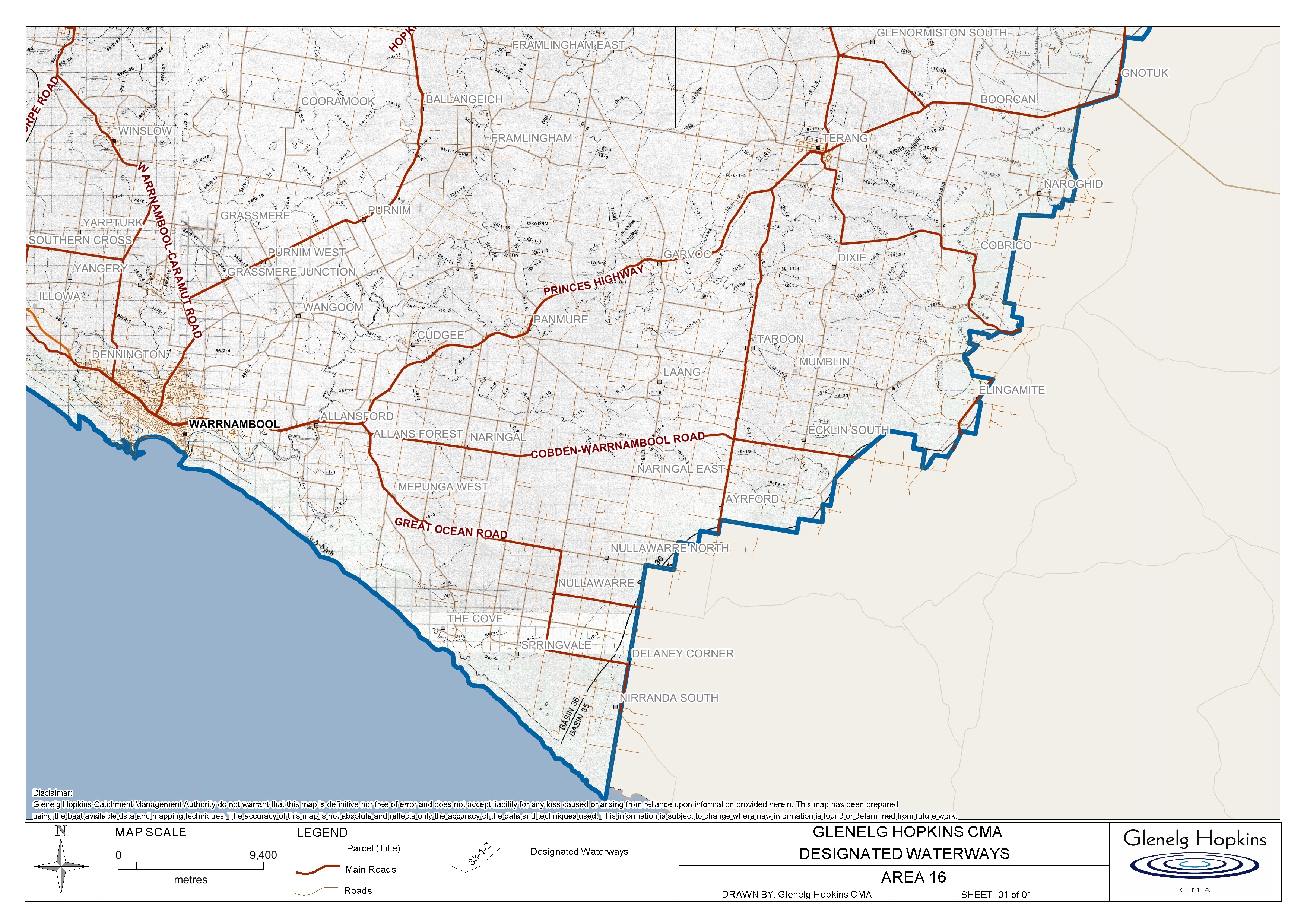
Designated Waterway Mapping List:
The Glenelg Hopkins Catchment Management Authority protects and enhances the land, water and biodiversity across 26,910 sq km of Victoria’s South-West.
Below is a link to a large key map of the Glenelg Hopkins CMA Region that will direct you to the correct map to look at the designated waterways on your property.
Or select an area below.
Designated Waterway Mapping List:
